|
| |
|
|
|
|
|
|
|
Image Gallery
|
||||||||||||||||||||||||||||||||||||||||||||||||||||||||||||||||||||||||||||||||||||||||||||||||||||||||||||||
| Sky
Images from Whole Sky Imagers |
|||
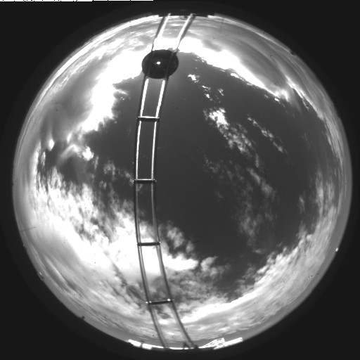 |
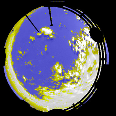
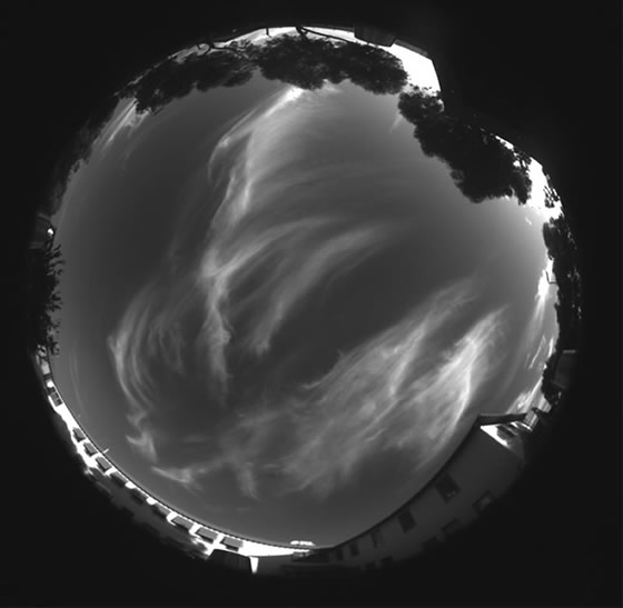
A daytime cloud field over Oklahoma |
||
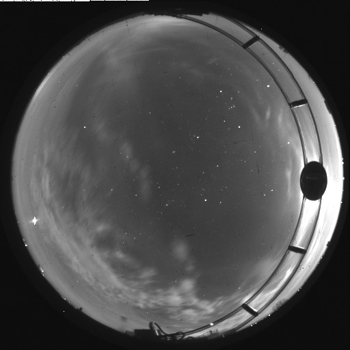 |
Cloud and Stars under Moonlight conditions; note Orion |
||
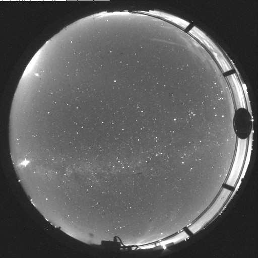 |
A nearly cloud-free star field; note the Milky Way, Casseopia, and Orion |
||
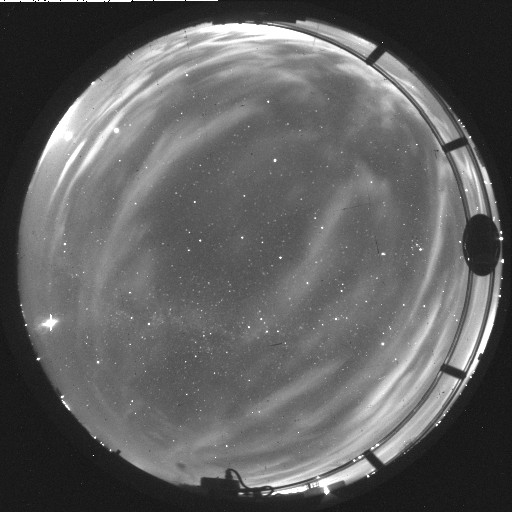 |
A starlit image with transparent clouds, acquired one hour before the previous clear scene |
||
 |
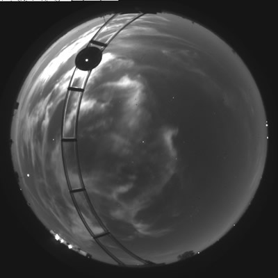
A cirrus cloud field over San Diego, acquired with the higher resolution Daylight Visible/NIR WSI |
||
 |
A false color of the aurora, created from blue, red, and NIR images acquired in Alaska. |
||
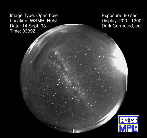 |
An image with the Milky Way from White Sands Missile Range. |
||
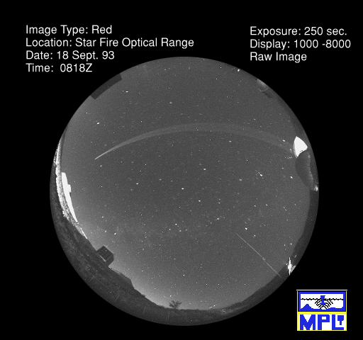 |
A WSI image taken at Starfire Optical Range with one of their lasers in use | ||
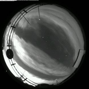 |
High clouds under moonlight in New Mexico. | ||
 |
High clouds and moonlight in Oklahoma. |
||
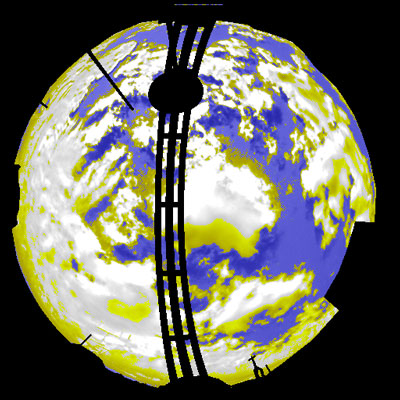
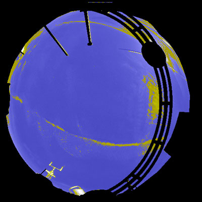
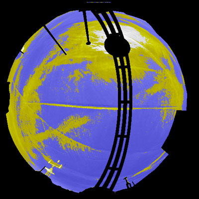
Four examples of cloud decision images, showing alto cumulus, and cirrus created by contrails. Blue is "no cloud", white is "opaque cloud", yellow is "thin cloud", and black is "no data". Note is the last two images the development of a cirrus cloud field in the presence of contrails over a two-hour period. |
|||
 |
|
 |
 |
|
|||
| Movies | |||
| |
A daytime scene, acquired in New Mexico, showing a dynamic cumulus cloud field acquired at 10-minute intervals. |
||
| Moonlight over Oklahoma with dynamic cirrus clouds at 10-minute intervals. |
|||
| A nearly-clear starry night; notice the Milky Way, and Orion rising in the East. Images are at 8 – 10 minute intervals. |
|||
| Stars over Albuquerque, notice the Big Dipper rotating around the North Star. Images are at 10-minute intervals. |
|||
| |
A wild scene from Alaska, with stars, clouds, and aurora. Images are at 2-4 minute intervals. |
||
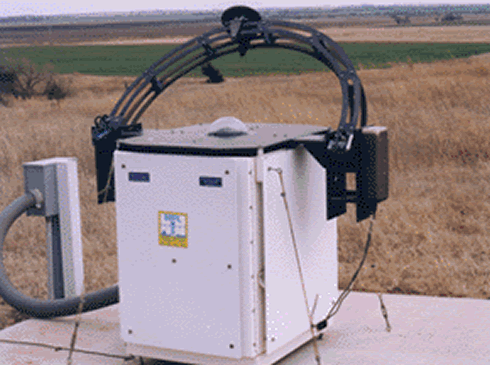
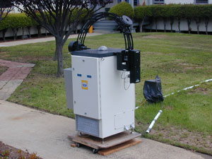
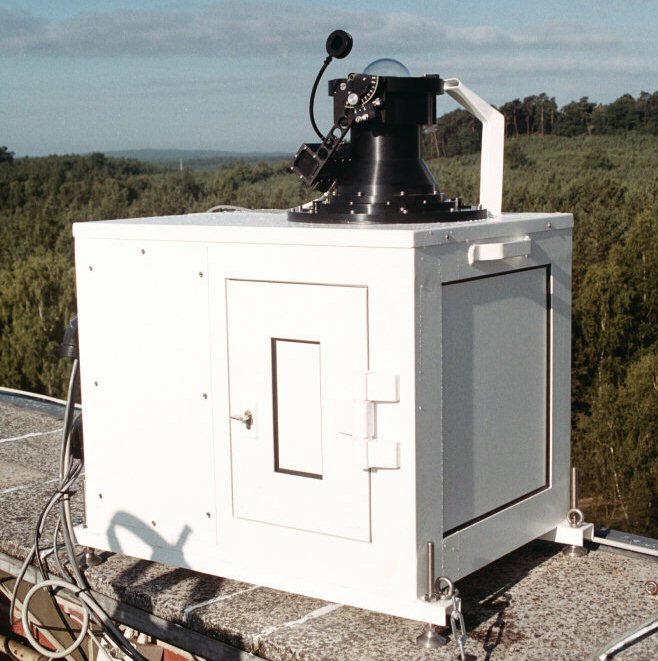
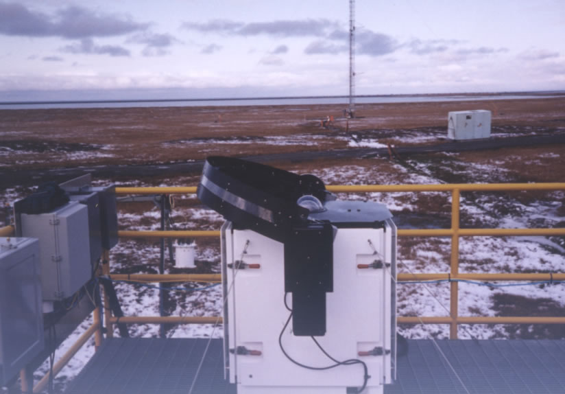
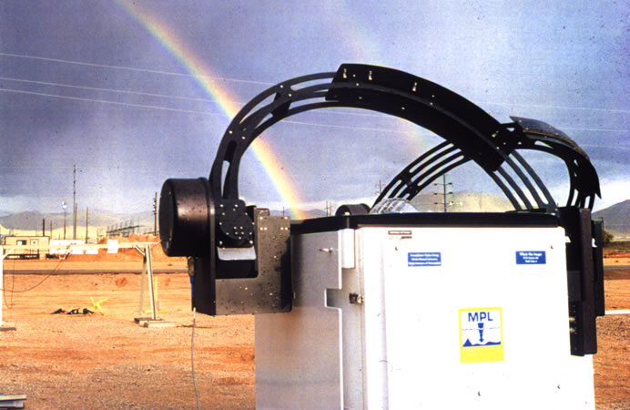
| Pictures of the Instruments | |||
|
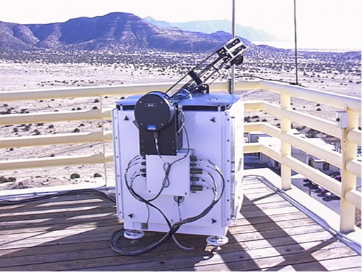
A Day/Night WSI fielded at Starfire Optical Range. Like all the Day/Night WSI’s, it automatically acquires images day and night, over all flux levels experienced in the field. |
||
 |
|
||
 |
|
||
|
|
|||
 |
|
 |
|
![]()
Produced
by the Marine Physical Laboratory, SIO.
Send questions, comments and suggestions about the Atmospheric Optics
Group website to:
webmaster@mpl.ucsd.edu
Copyright © 2002.
| Official web page of the University of California, San Diego |